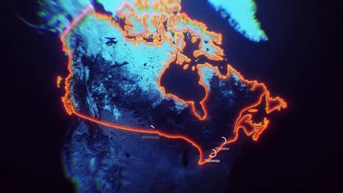
Animated 3D Topographic Map of Saudi Arabia With Glowing Borders
By candy_animationOne great value subscription from €14.50/month
- Unlimited downloads of 27+ million creative assets
- AI Tools: video, image and more
- Lifetime commercial license
- Easy cancellation
Already have an account? Sign in
Attributes
- Length
- 0:27
- Resolution
- 3840 x 2160
- File Size
- 173 MB
- Frame Rate
- 30 fps
- Alpha Channel
- No
- Looped
- No
- Video Encoding
- H.264
- Orientation
- Horizontal
- Commercial License
- Further Information
Description
An animated topographic map of the Arabian Peninsula features a detailed grayscale terrain with a vibrant, glowing orange neon border highlighting the Kingdom of Saudi Arabia. As the camera gracefully zooms into the Middle East, dynamic UI elements such as circular city markers and precise labels for Riyadh, Jeddah, and Abu Dhabi appear on the surface, anchoring the viewer in the geography of the region. The high-tech, futuristic aesthetic is enhanced by subtle data-driven overlays and a cinematic lens blur effect that adds depth and professional polish to the scene. This visual tool is ideal for broadcast news, educational documentaries, or corporate presentations focusing on regional geography, geopolitics, or travel logistics in the Gulf region. The polished animation provides a sophisticated way to visualize complex geographic data with modern flair. This clip elevates project production value by offering a clean, informative, and visually engaging representation of the landscape, perfect for transitions or establishing shots in professional video edits, historical series, and data-focused storytelling. The smooth motion and high contrast between the dark terrain and the glowing accents ensure that the viewer's attention remains focused on the key highlighted area.